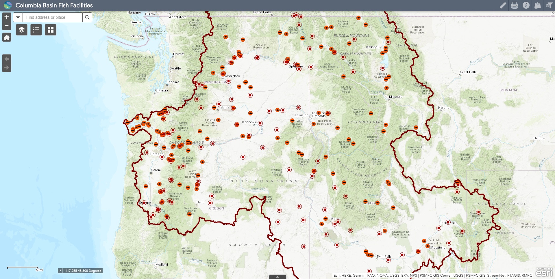
Fish Facilities Mapper

The Fish Facilities Mapper provides the fixed or semi-fixed location where fish are managed, counted, or passed and generally where there is at least one data record in a Pacific States Marine Fisheries Commission (PSMFC) database. This mapper is maintained by the PSMFC GIS Center, working in cooperation with StreamNet, the Regional Mark Processing Center and the PIT Tag Information System (PTAGIS).
Basic types of fish facilities currently include the following: hatcheries (acclimation/release sites); dams (categorized further for display purposes, including decommission/removed dams); fish traps and collection facilities (including screw traps, weir traps, etc.); fish passage facilities (including fish ladders and juvenile fish bypasses); and a subset of PTAGIS instream remote detection facilities.
The data represented in this application vary in age, accuracy, scale, completeness, and extent of coverage, and have been contributed from various sources. We highly recommend reviewing available metadata prior to interpreting these data, including the GIS layers metadata.